Latest News

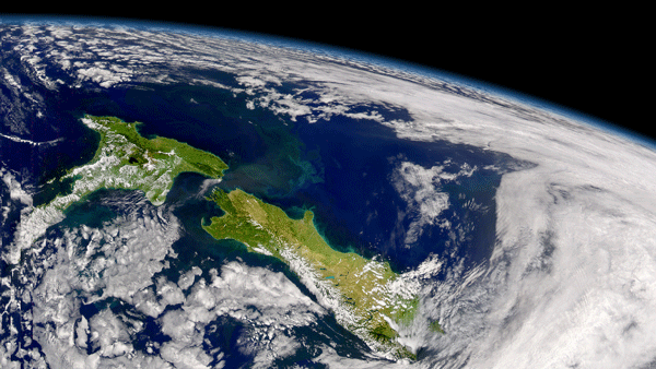
New Zealand as seen from space. Photo: CSST/NASA.
The Center for Space Science Technology (CSST) is planning to use Spire Global’s Automatic Identification System (AIS) data collected from its constellation of satellites to drive multiple use cases in maritime situational awareness throughout the South Pacific Ocean and beyond. According to director of operations Rafael Kargren, CSST will use the data in areas such as fishing, fleet monitoring and control, vessel tracking services and collision avoidance, maritime security, fleet and cargo tracking, aid in search and rescue operations, accident investigation, navigation aids and infrastructure protection.
Established in 2017, CSST is a regional research institute based in Alexandra, New Zealand with a mission to support regional growth and development. In December, it announced its first purchase order for satellite imagery from Northern Canterbury Transport Infrastructure Recovery (NCTIR) to assist with repairs to earthquake-damaged roads.
Get the latest Via Satellite news!
Subscribe Now