Latest News

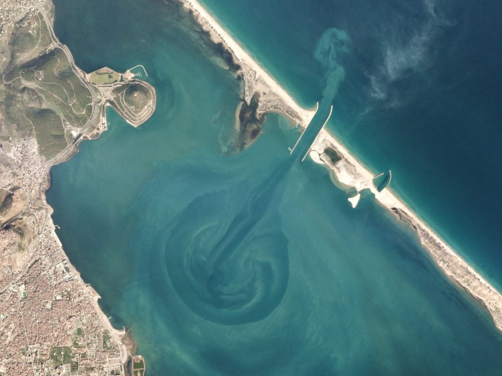
The Moroccan city of Nador is sheltered from the Mediterranean by Mar Chica, a sandy saltwater lagoon. Photo: Planet.
Technavio market research analysts forecast the global commercial satellite imaging market to grow at a Compound Annual Growth Rate (CAGR) of more than 11 percent between 2017 and 2021, according to their latest report. The market study covers the present scenario and growth prospects of the global commercial satellite imaging market during the forecast period. Also, the report discusses the key trends influencing market growth and the challenges faced by the key vendors and markets.
Technavio aerospace and defense analysts highlight the following three drivers contributing to the growth of the global commercial satellite imaging market:
Advances in satellite imaging technologies
Government organizations interpret satellite imagery for sectors such as defense, oil and natural gas, mining, meteorology, and agriculture. New image-enhancing equipment, including high-resolution cameras and advanced remote-sensing technology, have enhanced the quality of satellite-based Earth Observation (EO) images. The defense, science, and Research and Development (R&D) domains use these images extensively. The technology used to capture satellite images has been improving over the years, thereby raising the expectations of the end-users. For example, users have started demanding more clarity in the images captured by EO satellites so that they can use these images effectively for applications such as weather information collection and forecasting, farming, and forestry.
Use of satellite imaging in geological research
Apart from aiding in mineral exploration projects and the identification of roads, inhabited regions, and forests, satellite imaging has successfully unearthed several natural and manmade foundations. Such findings are useful for geological research.
With an increase in the demand for reliable telemetry infrastructure, the demand for satellite-based telemetry has also increased. Satellite telemetry is used for various civil, commercial, government, and military applications; for example, researchers use it to track the movement of targets (such as animal and birds) on Earth. The satellite receives radio signals from transmitters attached to the target. Military and defense applications also widely use satellite telemetry.
Increasing demand for EO imaging systems
Advanced remote-sensing technology and image-enhancing equipment such as high-resolution cameras have led to an improvement in the quality of satellite-based EO images.
“Such equipment provides all the users with a single internet access point to obtain EO data from both existing databases and the new up-to-date portals. This facilitates direct access to information for users from different domains,” said Avimanyu Basu, a lead analyst at Technavio for space research.
The users can be surveyors, farmers, miners, fishers, engineers, and other decision makers seeking EO data to meet their business objectives. Defense agencies, science institutions, R&D organizations, and private users also extensively share and use EO data. Thus, the satellite manufacturing and launch companies are expecting significant returns.
Get the latest Via Satellite news!
Subscribe Now