Latest News
[Via Satellite 08-29-13] DigitalGlobe, a global provider of commercial high-resolution Earth imagery products and services, surpassed 4 billion square kilometers of imagery collected.
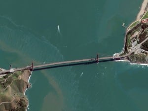
Among images in the archive, which depicts changes to Earth over time, are photographs of buildings, automobiles, bodies of water, and terrain. The images support uses within defense and intelligence, civil agencies, mapping and analysis, environmental monitoring, oil and gas exploration, infrastructure management, Internet portals and navigation technology.
“With our current five-satellite constellation, we are adding a billion square kilometers every year to our imagery archive, an area we expect to increase even further with the launch of WorldView 3 next year,” said Walter Scott, founder and CTO, DigitalGlobe. “I look forward to seeing what the next 4 billion will bring, though this time it will take a lot less than 21 years!”
Get the latest Via Satellite news!
Subscribe Now