Latest News
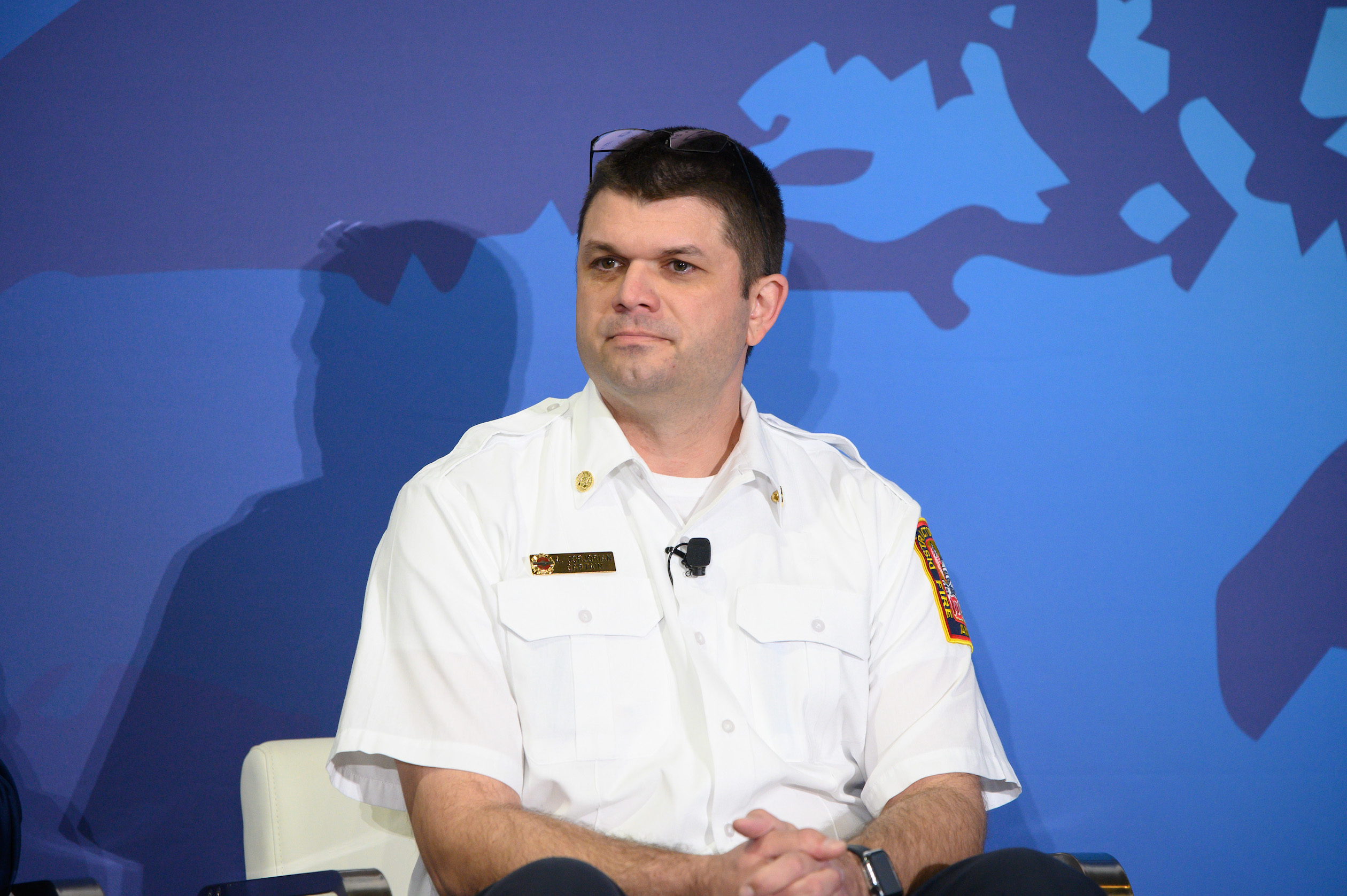
Capt. Adam Jorjorian of the DC Fire Department at SATELLITE 2025. Photo: Steven David for Access Intelligence
A mix of end users and satellite technology providers addressed how satellite tech relates to fire and public safety last week during SATELLITE. The evolving relationship between satellite tech providers and fire departments and other organizations that combat wildfires is even more relevant after the devastating fires in California earlier this year.
While Washington D.C. doesn’t have the same severe wildfire issues as California, it was especially interesting to get the perspective from a fire department. Capt. Adam Jorjorian, ICS communications leader, with the DC Fire Department said the hard part is having the budget to integrate the relevant technologies.
“We are very new into using Starlink technology. We are good firemen, but not IT personnel. We know what we want. We just need to help to get there,” he said.
Satellite tech could help in a multitude of ways. Jorjorian talked about issues such as the location of vehicles, stating that D.C. is covered by more than 40 ambulances and 30 fire trucks, so knowing where everyone and everything is, is hugely important.
Expanding on this, he said, “Understanding all of that means we can dispatch the closest resources. For example, we have multiple units that carry blood. The temperature of the blood is a huge issue so having data that provides that information would help us. We would love to get more into imagery. It could benefit us if we could identify fires before they are called in.”
Dave Roscoe, president of Satellite IoT for Orbcomm, said when looking at issues such as fire and safely, he believes satellite connectivity is “essential.” Orbcomm provides a mix of cellular and satellite connectivity so it can provide real time support in key situations.
He added, “The great thing about the satellite network, it crosses boundaries between federal and state departments. We provide services to our partners. We work with Cal-Fire, for example, and we have things like crew tracking, visibility on their equipment and their assets and the state of the equipment. It is connected to the other sensors.”
One of the key questions on the panel was how the combination of Low-Earth Orbit (LEO) and Geostationary Orbit (GEO) assets can impact these situations in real time. Roscoe pointed out that both are reliable and provide good coverage.
“The nice thing about GEO is that it is always there. Latency is near real time. LEOs provide the same type of coverage. The only think you have to be cognizant of is the number of satellites in the constellation to provide that latency. There are usually hundreds of satellites. If you start to get gaps in that constellation, latency can go up,” Roscoe said. “There are so many layers of information. You will always have satellite-enabled data. That should be core.”
Mike Ford, senior scientist for NOAA’s National Environmental Satellite, Data, and Information Service (NESDIS), said that NOAA has merged its LEO and GEO assets for next generation fire systems, as it looks to have its assets work together in an optimal way.
“Our GEO satellites have the capability to track. Our LEO satellites can come in and add much added detail, understanding the composition of smoke [in a fire situation]. The pivotal point is to put that in the hands of people who can respond. We are working with private industry and that is pivotal to our program. We are driving to make sure the satellites provide the right information. Satellite assets can help identify heat sources, smoke detection, understanding meteorological conditions — and this is key. We are continuously driving to make sure that information is usable.”
Kacific Broadband Satellites Group operates in remote regions of the world is familiar with unique challenges. CEO Christian Patouraux said he is a proponent of multi-technologies and using terrestrial, cellular, LEO and GEO, to provide the best possible response. When looking at the advantages of LEO/GEO, he said, “The great thing with LEO is you can project yourself anywhere in the world, and where there is a lack of GEO coverage. You can project the LEO and provide coverage in the near time. The downside of LEO is if you have gaps. It is not just gaps, but also line of sight. You need a very high density of satellites to provide that service. With GEO, you know what that service is. We can have the best is to take advantage of the systems and have multi-orbit systems, so systems that can connect to LEO and GEO.”
Panelists also looked at the impact of direct-to-device (D2D) connectivity on fire and public safety. Jorjorian believes having a fully functional cell phone with D2D capability would be great in certain situations.
“We know cellular networks can fail. Having satellite communications linked into that will be phenomenal,” he said. “It can reduce our time to find someone in a high rise building for example in a time sensitive situation, and that would be super useful.”
Get the latest Via Satellite news!
Subscribe Now