Latest News
How Rapid Growth in Drone Use and EU Regulations Will Accelerate Demand for Satellite Connectivity

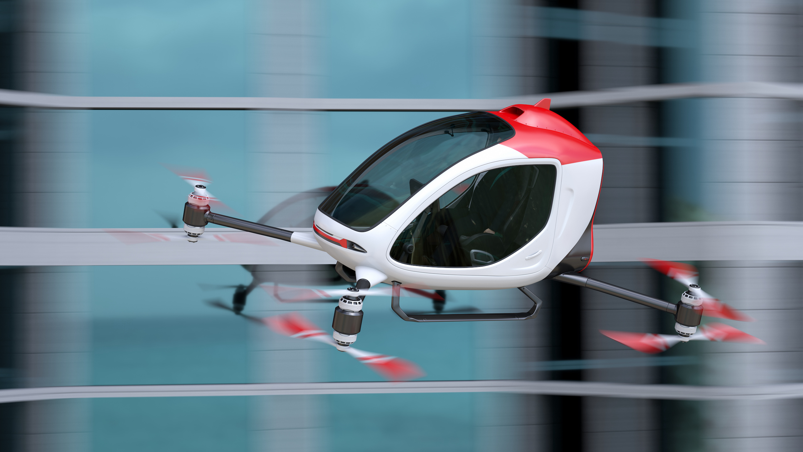
3D model/illustration of a drone taxi. Photo: Adobe Stock by Tatiana Shepeleva/via Gatehouse Satcom
By 2030, global use of commercial drones is expected to increase tenfold, and the market is growing exponentially, especially due to geopolitical concerns and increasing commoditization. But with rapid growth comes new regulation, and this creates new business opportunities for developers and providers of satellite-based connectivity for drone technology.
The international drone market can be divided into two primary groups: military and commercial, both of which are expected to grow considerably within the next few years. Today, the market for military drones has a yearly turnover of approximately $12 billion and is expected to reach $17 billion by 2027 (CAGR of 8-10%).
The commercial market will grow even faster – from $8 billion today to $47 billion in 2028 (CAGR of 28-30%). Even if the forecasts vary slightly depending on the source, there is no doubt that the global drone industry is heading for boomtimes – no pun intended.
Advanced drone technology will find its way into our everyday societies in a great number of new ways, but only if they are able to comply with market regulation. And in Europe that hurdle just got higher.
The use of drones in the 27 countries in the European Union is governed by the system “Uncrewed Aircraft Systems Traffic Management” – also known as UTM or U-space. It is a set of services defined to provide safe, efficient, and secure access to European airspace for drones operating automatically, autonomous and beyond line of sight (BLOS). Especially when flying at low altitudes in densely populated areas.
New regulation for the UTM* came into force at the start of this year, calling for more secure, reliable, and resilient connectivity. All drones operating in European airspace must now be able to report their position, direction, and speed to conventional air traffic control via the UTM.
This new demand will have quite an effect on the European drone market. Today, most small and medium-sized drones are tied to their control station via direct radio-links. These are typically closed systems with no or limited connections to a UTM control center. Because of this they have no way of reporting their flight data to the UTM as now required by the EU, and this makes them much less usable. Unless they can connect to satellites and report their flight data that way.
Another important fact is that small and medium-sized drones are expanding their range due to technological progress. As size, weight, and power becomes less challenging and range increases because drone terminals are being optimized, satellite connectivity is becoming a more valuable feature in the smaller drone segments as well.
Satellite connectivity will also improve bandwidth as providers offer dedicated drone services for specific drone terminals. Several application providers have taken up the bandwidth challenge and developed video compression algorithms combined with onboard edge computing and AI/ML that enables HD full motion video quality even from smaller drones.
The relatively large bandwidth required for full motion video has been a limiting factor in the use of satellite connectivity in small and medium-size drones, whereas large drones have long been able to accommodate the appropriate satellite connectivity equipment for achieving the necessary bandwidth. Soon, small and medium-sized drones will have the same abilities, which is yet another win for the satcom industry.
Satellite connectivity can be achieved with a variety of technologies and network operators, depending on what is needed in each user case. Today, some network operators and service providers have optimized and dedicated services to support drone connectivity, and as a part of this optimized terminal and antenna performance with specific drone operating environments in mind.
New “multi-modes” are also being developed, through which both satellite and terrestrial connectivity technologies are built into the same drone terminals. This creates multiple connectivity options for the drone flight path, which can be achieved through Geostationary Orbit (GEO), Medium-Earth Orbit (MEO), and Low-Earth Orbit (LEO) satellite networks or terrestrial 4G/5G networks or combinations of these by switching seamlessly between the different technologies. But to do this safely and predictably testing and simulation is required.
As both military and commercial use of advanced drones gain momentum, there are huge advantages in verifying and validating (V&V) satellite connectivity before deployment. This needs to take place in a professional laboratory capable of testing and documenting a wide range of technologies under realistic, controllable, and repeatable conditions. For instance testing video compression, encryption algorithms, flight termination systems, autopilot, and first person view are potential applications.
By use of professional V&V tools, an experimental drone can “fly” around in various simulated scenarios and flight conditions without leaving the laboratory. The drone flight path can be emulated realistically, and a complete satellite connectivity coverage map can document that connectivity was indeed maintained throughout the flight.
A capable V&V laboratory can also test seamless switching between different connectivity technologies to secure global coverage for the maneuvering interface, reporting to UTM and payload. The same goes for application connectivity.
In other words: Professional V&V will ensure that an experimental drone complies with the new EU regulation and will not be “lost in space” once it takes to the skies for the first time.
*EU 2021/664, EU 2021/665, EU 2021/666
 Søren Rønnest is the CTO of Gatehouse Satcom
Get the latest Via Satellite news!
Subscribe Now