Latest News

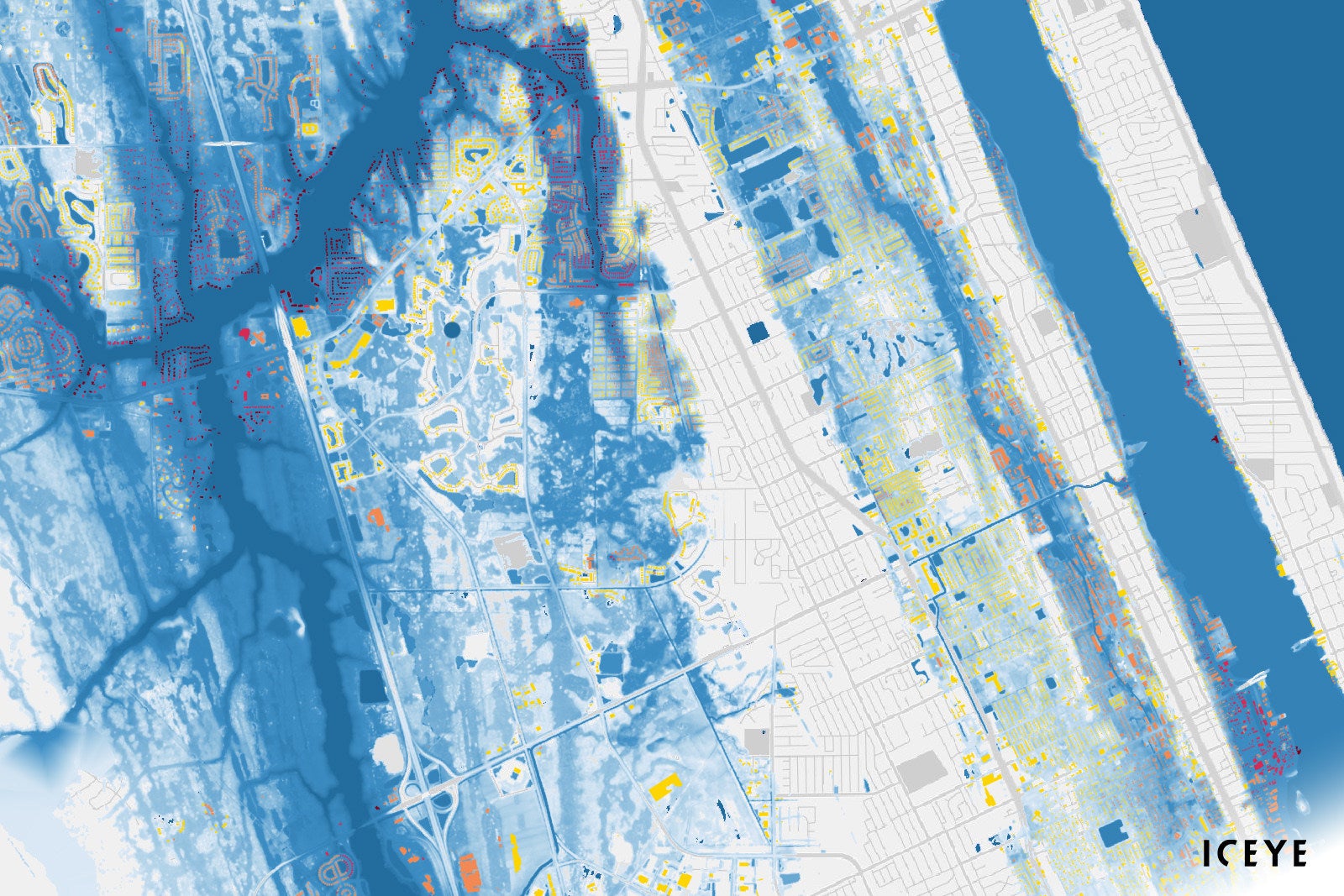
Iceye Flood Insights. Photo: PRNewsfoto/Iceye
Iceye launched its Flood Insights and Flood Early Warning products to provide flood data to Canada. Satellite data provider Iceye, launched the products on May 2.
“By providing access to more comprehensive flood loss data, Iceye aims to support the ongoing development of the flood insurance market in Canada,” said Stephen Lathrope, SVP of Solutions at Iceye.
Iceye’s Flood Insights is powered by the company’s synthetic aperture radar (SAR) constellation. The tool aims to provide proactive data to insurance carriers to mitigate flood risks. Additionally, the company reported that Iceye’s Flood Early Warning data can predict which areas are at risk of experiencing flooding up to 96 hours before. Iceye also said that during each flood, data on the active flood water will be provided every 24 hours.
Flood damages generate an average annual loss of $2.9 billion Canadian dollars ($2 billion). Exposure levels across the country are expected to rise as the effects of climate change result in more frequent and severe events and an increase in the geography exposed to flooding.
Kurt Jackson, global head of Sales at Iceye, said the company has already been monitoring floods in Canada and the rapid growth of Iceye’s SAR satellite constellation will provide the capacity to enter the Canadian market. Jackson said, “Iceye is excited to partner with insurers by providing near real-time observed flood data to support property-level risk migration and event response efforts. Knowing where the water is and the depth at the property level makes all the difference in how to respond best to an event.”
Stay connected and get ahead with the leading source of industry intel!
Subscribe Now