Latest News

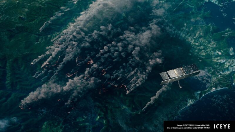
A depiction of an Iceye SAR satellite taking an image through the fire and smoke of wildfires. Credit: Iceye
The Australian government signed a deal with Iceye for flood and bushfire hazard data across the country. The agreement for access to Iceye’s synthetic aperture radar (SAR) satellite imagery will help Australia deal with the impact of flood and bushfire and the nation’s disaster response. Australia estimates that flood and bushfire events caused a $5 billion economic impact for the nation last year.
The flood and bushfire data will be made available to agencies via ArcGIS, the mapping and analytics software developed by Esri. The Flood Insights product details structure-level flood extent and depth information, and the Bushfire Insights product can deliver property damage assessments in near real-time. Terms of the deal were not disclosed.
Australia has been a customer of Iceye’s and has used the company’s Flood Insights product since October 2022. To date, Iceye has analyzed 18 large-scale flood events across Australia.
“Understanding the true impact of floods and bushfires quickly, can transform response and improve recovery outcomes for survivors. This partnership is about bringing that transformation to federal, state, and territory-level agencies across Australia,” commented Andy Read, global head of Government Solutions for Iceye.
Get the latest Via Satellite news!
Subscribe Now