Latest News

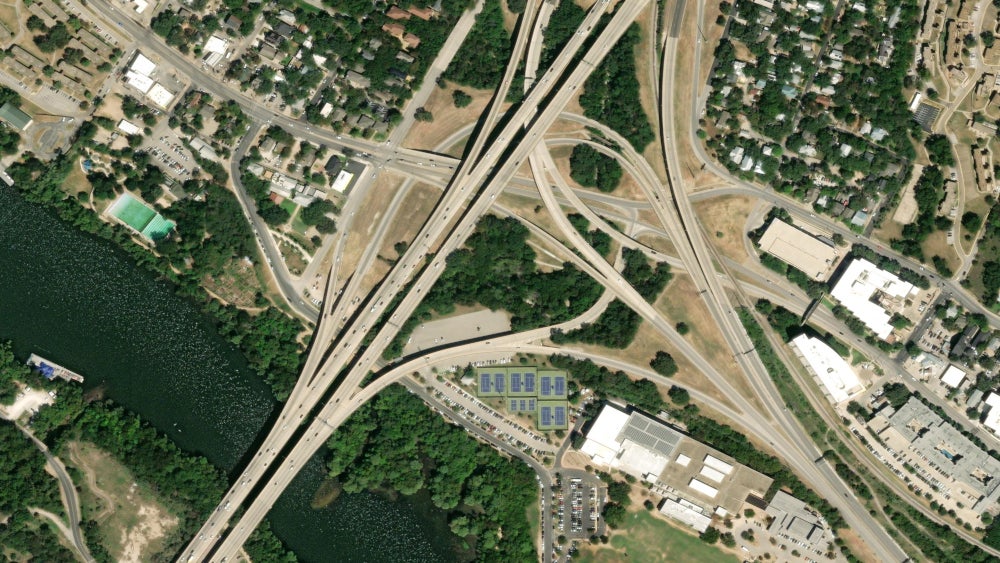
Imagery of Austin, Texas in Maxar’s satellite imagery basemap at 30 cm high-definition resolution. Photo: Maxar Technologies, 2023
Maxar Technologies has a new Maxar Geospatial Platform (MGP) now available as an initial release, for access to Earth observation intelligence. The company said MGP was designed to simplify discovery, purchasing and integration for geospatial data and analytics. Maxar announced Monday during the Esri User Conference that select customers can access MGP now, and it will be ready for broad adoption later this year.
The platform includes Maxar satellite imagery, imagery basemaps, 3D models, analysis-ready data, and image-based change detection and analytic outputs. It includes three applications, MGP Xpress library of satellite imagery, MGP Pro with an on-demand subscription, and MGP APIs to integrate plugins.
“Maxar has been collecting the highest quality Earth Intelligence for more than 20 years, and MGP revolutionizes how customers and the general public can access that premium content to improve their decision-making processes,” said Dan Jablonsky, Maxar president and CEO. “MGP will enable experienced analysts, technical developers and occasional users of geospatial data to equally leverage Maxar data for mapping, monitoring and analysis in their workflows.”
Get the latest Via Satellite news!
Subscribe Now