Latest News

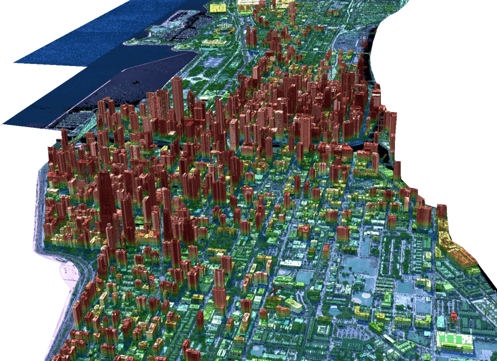
A LiDAR image of Chicago. Photo: USGS via Nuview
New geospatial satellite startup Nuview emerged from stealth mode on Thursday, with plans to build the first commercial LiDAR satellite constellation.
LiDAR — which stands for Light Detection and Ranging — collects 3D data of Earth. Nuview says the issue is that only about 5% of the Earth’s landmass has been mapped with LiDAR, which is collected from aircraft, and current satellite imagery is 2D.
A Nuview representative told Via Satellite the company aims to have a 20-satellite constellation, with tentative launch of the first satellites in 24 to 36 months. The company plans to launch satellites in groups of five.
Nuview’s goal it to map the entire Earth once a year, and said up to date LiDAR can make a difference in agriculture, urban planning, and disaster relief, and to create high-resolution digital twins.
The company says it has $1.2 billion dollars in early adopter agreements and plans to announce fundraising in the coming weeks.
The company is led by CEO and co-founder Clint Graumann, former CEO of TerraMetric, a business development firm geared toward the space tech and geospatial industries.
“Nuview is thrilled to be leading a new era in geospatial technology to provide the first, most complete, high-resolution 3D point cloud of the Earth’s surface,” Graumann commented. “Our LiDAR satellite constellation will offer a wealth of information that has never before been available at scale, driving innovation and progress throughout numerous industries and revolutionizing the way we understand and interact with our planet.”
Stay connected and get ahead with the leading source of industry intel!
Subscribe Now