Latest News

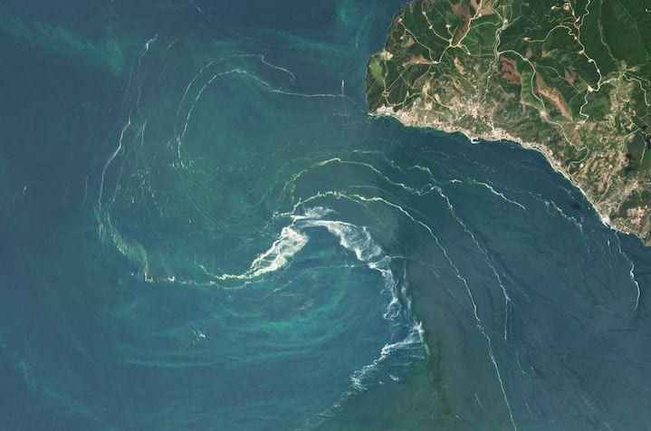
A Phytoplankton swirl in the Sea of Marmara in June 2021. Photo: Planet
Planet launched a nonprofit program to provide access to the company’s satellite imagery. The program provides access to Planet imagery and support services for nonprofits and non-governmental organizations with the goal of reducing the barriers for the organizations to work with satellite imagery.
Planet announced initial partners including The Nature Conservancy (TNC) and The Institute for International Urban Development (I2UD), which helped incubate and refine the program.
For example, TNC is using PlanetScope and SkySat imagery to develop high-resolution regional maps of mangroves in the Caribbean and Papua New Guinea, and seagrasses in the Caribbean and China. The organization plans to use the imagery to improve the accuracy of its mangrove maps and prioritize sites for restoration.
“Without easily accessible, up-to-date information, conservation groups like ours find it difficult to analyze and select optimal sites for effective conservation and restoration efforts within these blue carbon ecosystems, which are key to mitigating climate change,” says Emily Landis, Climate and Ocean Lead at TNC.
Get the latest Via Satellite news!
Subscribe Now