Latest News

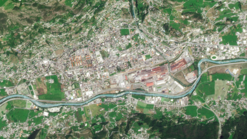
Image of Aosta, Italy shows the latest PlanetScope capabilities with improved band-to-band alignment. Planet Labs PBC photo, 2021
Planet Labs has launched its next-generation PlanetScope Monitoring product, which takes the product from four to eight spectral bands, designed to give customers cleaner and more consistent data.
PlanetScope is a daily imaging product currently in use for use cases like wetland monitoring, climate research, agricultural analysis and emergency response. Planet said in a Wednesday release that the PlanetScope visual data products are sharper and have fewer sensor artifacts. Its analytic data products are calibrated to Sentinel-2 and have improved spectral band alignment, enabling accurate time-series analysis and machine learning models. It also includes more colors of spectral bands to provide deeper understanding of physical change.
For example, SargAssure, a UK Space Agency-funded project, currently uses the spectral data to monitor seaweed, known as sargassum, as it washes up onto coastal beaches.
“PlanetScope images provided by SuperDoves hit the sweet spot of spatial, spectral, and temporal resolution needed for tactical sargassum monitoring on beaches and in nearshore waters,” said Geoff Smith, director at Specto Natura and partner in the SargAssure project. “The influxes of sargassum are highly dynamic depending on tides, ocean currents, and wind directions, requiring high cadence for effective monitoring.”
Get the latest Via Satellite news!
Subscribe Now