Latest News

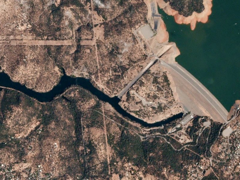
Oroville Dam in California . Photo: Planet.
Planet has entered into a partnership with Seisan, a custom software solutions and systems integration company specializing in geospatial technologies, to help the data imaging satellite operator expand into new industry verticals.
Seisan said it would use Planet’s datasets and historical time lapse features to build machine learning imagery analysis services for enterprise customers along with traditional systems integration and data transformation techniques. The solutions aim to allow users to gain greater insights from location data, leading to productivity savings, operational cost reductions, and increased situational awareness.
“Seisan is excited to partner with Planet to help provide previously unattainable levels of imagery detail on a daily basis. We look forward to creating new opportunities to analyze geospatial information and unlock value for customers,” said Charles Durham, co-founder and president of Seisan. “Data contained in an image gives far greater detail than what is currently available in traditional geospatial methodologies. With Planet’s extensive image archive, we can now go back in time to analyze historical data without the limitations of timed flight aerial photography. Seisan looks forward to utilizing Planet’s robust APIs to provide solutions that were never possible before.”
Get the latest Via Satellite news!
Subscribe Now