Latest News

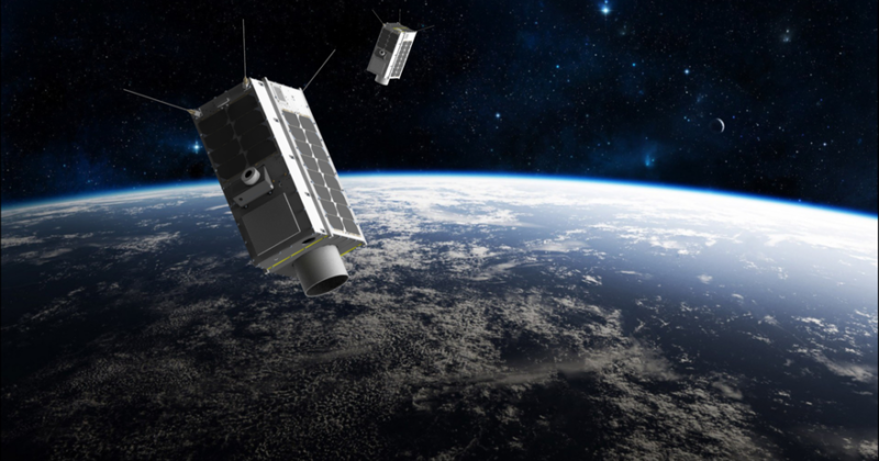
Artistic rendering of 2 GHGSats. Photo: GHGSat
GHGSat plans to deploy a free, online service that visualizes greenhouse gas emissions this year. The company said it plans to deploy the service during the United Nations‘ 2020 United Nations Climate Change Conference in November.
The Montreal-based company, which focuses on remote sensing of greenhouse gas, plans to initially provide visualization for methane on a grid averaging 2 km x 2 km anywhere over land. Users will be able to zoom into the grid to explore geographic patterns and hotspots of methane. The visualization will be updated on a rolling basis with the latest data. This is similar to higher resolution methane emission measurements, up to 25 m x 25 m, that the company currently provides under a paid subscription. The free visualization will integrate data from GHGSat’s own satellites, the Copernicus Sentinel satellites, as well as other current and future atmospheric monitoring missions. GHGSat plans to launch two more satellites and an aircraft sensor in 2020.
President and CEO Stephane Germain said the company decided to open this capability to “accelerate the impact” of GHGSat’s work. “We plan to launch during COP26 to highlight the importance of combining the best of all satellite capabilities to help solve the real-world challenges of this decade,” he said.
Get the latest Via Satellite news!
Subscribe Now