Latest News

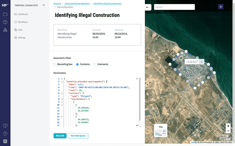
A view of UP42’s platform. Photo: UP42
UP42, a subsidiary of Airbus Defence and Space, formally launched its commercial data and analytics platform and marketplace. UP42 opens up access for the first time to geodata and processing tools that enable observation and analysis of portions of the planet at scale, helping customers build game-changing new geospatial products.
UP42’s ready-to-use algorithms have gone live on its platform today, including vegetation indexing and moisture/chlorophyll level detection; object detection; change detection; and pre-processing tools. UP42 aims to provide access to data from a range of sources — including both commercial and open source high-resolution satellite/drone imagery and Internet of Things (IoT) data. It also aims to solve a key pain point for customers looking to leverage real-time geospatial data sources, many of which have historically been unavailable for startups or individual developers.
UP42 has been in beta since May 2019 and customers will initially have access to data from a wide range of partners including LiveEO, Ito World, Simularity, and Vasundharaa, with more being added over the coming months. The company was founded in 2019 with support from BCG Digital Ventures and is based in Kreuzberg, a borough of Berlin, Germany. UP42 currently has 32 employees and are growing rapidly, with plans to grow its product and development teams in particular.
Get the latest Via Satellite news!
Subscribe Now