Latest News

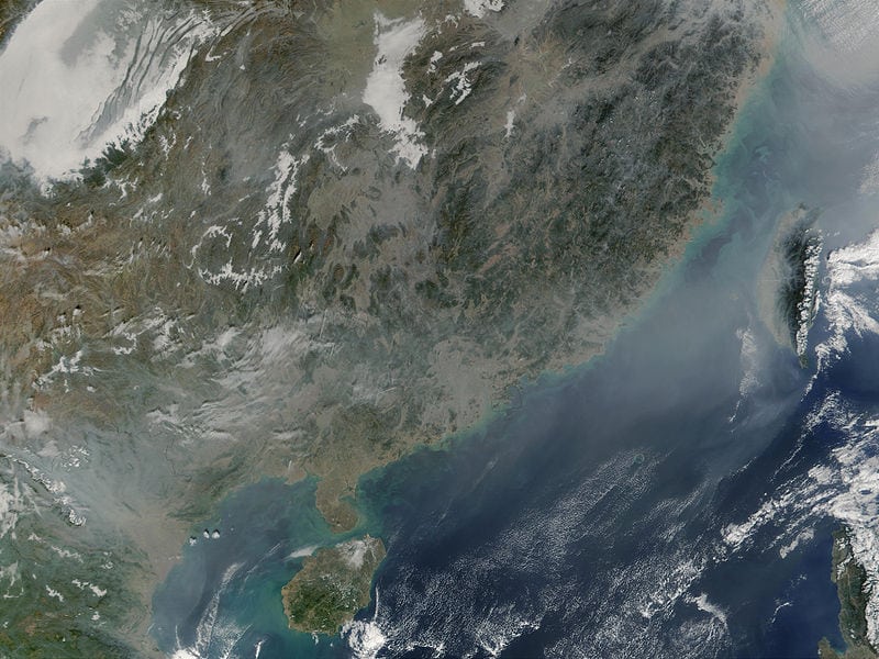
China as seen from space. Photo: NASA
Luokung Technology, a Chinese spatial-temporal big-data processing technology company, revealed a strategic cooperation with the China Center for Resources Satellite Data and Application (CRESDA). Luokung will provide cloud services based on image data from remote sensing satellites to manage data unification for CRESDA, thus to help further achieve more reliable, safer, and efficient data cloud service.
Both Luokung and CRESDA are working to create a remote sensing spatial temporal big data cloud service platform to provide advanced products, applications and technology services. The companies want to reach customers in the fields of land resources management, environmental protection, water conservancy, surveying and mapping, marine, agriculture and forestry, emergency management, and others.
Both parties will actively participate on major state projects that CRESDA is responsible for, like the China High-resolution Earth Observation (EO) System. Based on the existing technology Luokung has provided, which includes the remote sensing image cloud services and publishing platform and APP of Earth Imagery, Luokung will continue to develop its corresponding leading technical services to fully meet the demand of these major state projects.
Get the latest Via Satellite news!
Subscribe Now