Latest News

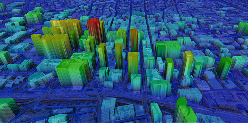
Intermap Technologies’ NEXTMap One image. Photo: Intermap Technologies
Intermap Technologies released NEXTMap Orthorectification, a new satellite imagery enhancement service. Available as a cloud-based application or professional service, NEXTMap Orthorectification leverages Intermap’s worldwide, NEXTMap One Terrain Model (DTM.
Pictures taken from space, whether radar or optical, are linear representations of terrain, while in reality the Earth’s surface is curved. Orthorectification is the process of providing correction to satellite images so they more accurately represent the Earth’s true surface. Intermap’s high-resolution NEXTMap elevation provides anchor points on Earth which correct satellite images for their linear distortion and allows these images to rectify and become aligned with other datasets.
“The explosion of satellite images and providers means quality, speed, accuracy, and cost matter. NEXTMap Orthorectification provides businesses with an easy-to-use, cost-effective solution to provide fast, high-quality imagery anywhere on the globe,” commented Patrick Blott, Chairman and CEO of Intermap. “Our customers get improved accuracy for mapping, engineering, GEOINT, and other applications, that cannot be duplicated on a global scale using any other commercial DTM.”
Get the latest Via Satellite news!
Subscribe Now