Latest News

Photo: Kongsberg
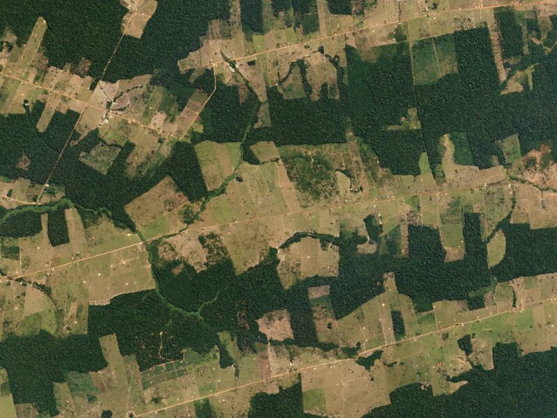
Norway has awarded Kongsberg Satellite Services (KSAT), Planet, and Airbus a $43.5 million contract for satellite imagery to monitor forests around the world. KSAT, Planet, and Airbus are providing imagery through Norway’s International Climate and Forests Initiative (NICFI). Norway is making the imagery free and accessible to anyone, including governments, investors, journalists, scientists, and indigenous organizations.
“This will revolutionize global forest monitoring. Better insight into what is happening in the rainforests will enhance efforts to protect these priceless ecosystems,” Sveinung Rotevatn, Norway’s Minister of Climate and Environment, commented in a Tuesday news release.
KSAT is leading the team and will provide NICFI with historical and monthly updated mosaics of selected areas worldwide. Planet and Airbus will provide the imagery. Planet will provide high-resolution basemaps of the full tropics, covering over 64 developing countries, updated every month, and Airbus will contribute its archive of SPOT high resolution imagery, so changes over time can be observed.
“Satellite-based information is essential for environmental monitoring, as global climate control relies on timely and accurate satellite data. This is an area of great importance to not only KSAT, but also society as a whole,” commented Rolf Skatteboe, president of KSAT. “The contract is of high strategic importance for the development of KSAT as a world-leading partner within services based on satellite data for environmental monitoring and control. It confirms KSAT’s position as a provider of information from optical satellites, and further expands our offerings.”
Get the latest Via Satellite news!
Subscribe Now