Latest News

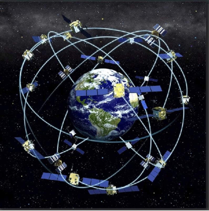
An artistic rendering of GPS satellites in orbit. Photo Credit: NOAA
NASA, one of the U.S. government agencies that manages GPS, wants to expand the navigation system’s application in a place many probably never thought of using it — space itself.
“We believe [there] will be major benefits for the satellite community during the coming years, based on what we’ve been able to prove out with the Air Force using GPS in the space domain,” James Miller, the deputy director for policy and strategic communications in NASA’s Space Communications and Navigation Program told a session at the annual SATELLITE show in Washington.
Miller and his colleague Joel Parker, the Positioning Navigation and Timing (PNT) policy lead for the NASA Goddard Space Flight Center, outlined the various ways that GPS, and the other Global Navigation Satellite Systems (GNSS) like Russia’s GLONASS or Europe’s Galileo, can be useful in space flight.
The use of GPS and the other GNSS systems is pretty routine in Low Earth Orbit (LEO), said Miller. But its use in Medium Earth Orbit (MEO), Geostationary Orbit (GEO) and beyond, including in the area between the earth and the moon, called cislunar space, is “an emergent capability,” according to Miller.
This capability depends on the fact that the GPS broadcast signal “is a little bit wider than the earth, so it spills past it by a few degrees on each side — that’s called the main lobe spill-over signal,” explained Parker. As with any Radio Frequency (RF) antenna, GPS broadcasts also create what are called “side lobe signals” either side of the main signal. “Those are very useful for space users because they broadcast beyond the earth, out into space and they can be received by users in GEO orbits and CISLunar space,” explained Parker.
“This is taking the benefits of GPS and GNSS use in LEO and extending it out into space,” he said.
There are several ways that GPS signals — and the timing and positioning data they supply — can be used in space, Miller explained. They include launch tracking, attitude control, time synchronization and real time onboard navigation. “That’s the promise of GNSS in this area,” he said.
Getting a launching spacecraft to report its own location to ground stations using on-board GPS reduces reliance on expensive adjunct systems like radar tracking, Miller said. “When you’re doing GPS position reporting from a launch, you gain autonomy and you save money, because you don’t have to maintain a radar infrastructure on the ground to track these launches. It’s a great benefit to the entire space community,” he explained.
Miller added that some launches were already employing GPS, and noted that, when last October’s Soyuz MS-10 launch had to be aborted, next generation search and rescue technology installed on GNSS satellites was the only way the capsule could be tracked. “The only US facility that was able to track that in real time and know where the astronauts were was through GPS and Galileo search and rescue payload — not even the traditional Cospas-Sarsat architecture was able to do that.”
GPS offers “Precise knowledge and control of movement,” said Parker, for example for attitude monitoring and adjustment. Miller said attitude control is a “perfect example” of how GPS can be of use in space. “We’ve been using it for several years [on ISS], we have antennas on the trusses, so that is how the U.S. end of the International Space Station (ISS) maintains its attitude control.”
Because GPS offers time information as well as location data, it can also help with time synchronization, which is a key requirement for satellite operators, reducing the need for high cost precision timing systems to be fitted. “It can help because you don’t need such expensive clocks on board your space platforms,” noted Miller.
But what Miller called the “most important and most powerful” use of GPS by satellite operators was its potential to improving the accuracy of their onboard navigation systems “from kilometer-class to meter-class.”
“This is an amazing opportunity to do formation flight [or] satellite servicing missions,” he said.
More important still is the potential to reduce the minimum necessary distances between satellites in orbit as a result of this improved accuracy, analogous to what was done decades ago in aviation. Miller argued this greater accuracy “could create more real estate in the crowded GEO belt because with more precise positioning that’s enabled by equipping satellites with GNSS, you could reduce the separation distances [required for safety reasons] between satellites, very similar to what we were able to do in the aviation world.”
The use of GPS in space is “An amazing tool coming to fruition,” he concluded.
Get the latest Via Satellite news!
Subscribe Now