Latest News

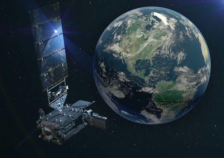
Artist’s rendering of a GOES-17 satellite in space. Photo: Lockheed Martin.
Northrop Grumman has contributed to an advanced weather satellite that enables improved weather prediction capabilities, leading to more accurate and timely forecasts, watches and warnings. The Geostationary Operational Environmental Satellite (GOES) – R Series is managed by the U.S. National Oceanic and Atmospheric Administration (NOAA). GOES-S, the second satellite in the series, launched from Cape Canaveral, Florida, on March 1 and was renamed GOES-17 upon reaching geostationary orbit. The first satellite in the series, GOES-16, launched from Cape Canaveral in November 2016 and is operational as NOAA’s GOES East.
Northrop Grumman’s Scalable Space Inertial Reference Units (Scalable SIRU), which features sensor pointing, stabilization and attitude control for the mission, were provided to the satellite’s prime contractor, Lockheed Martin.
Orbiting 22,300 miles above Earth, GOES-17 will be positioned to boost forecast accuracy for the West Coast, Alaska and Hawaii once operational. Together, GOES-16 and GOES-17 will observe most of the Western Hemisphere. GOES-17 scans the skies five times faster than previous GOES spacecraft with four times greater image resolution, according to NOAA. It will provide high-resolution, rapid-refresh satellite imagery as frequently as every 30 seconds. GOES-17 data will help improve the prediction and warnings of severe weather, potentially saving lives. Additionally, GOES-17 will improve aviation forecasts and flight route planning to avoid hazardous conditions such as turbulence.
Northrop Grumman plans to provide additional Scalable SIRU units for the remaining satellites in the GOES-R Series.
Get the latest Via Satellite news!
Subscribe Now