Latest News
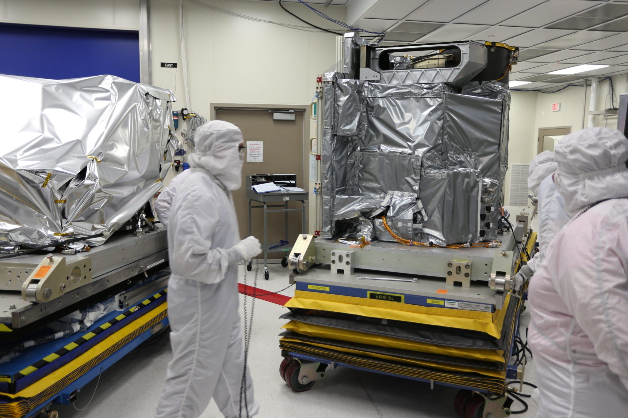
Engineers preparing the completed ABI PFM for transport. Photo: Exelis
[Via Satellite 11-04-13] Exelis has completed the primary payload for the future Geostationary Operational Environmental Satellite, GOES R, weather satellite. The Advanced Baseline Imager (ABI), which provides high-resolution imagery of environmental conditions, will be transported in January to Denver where it will be integrated into the R satellite for a scheduled 2016 launch.
The ABI is part of the next generation GOES R Series Program jointly managed by NASA and NOAA. Exelis has built imager and sounder payload for NOAA’s GOES satellites since 1994. The company is also on contract to build four ABI instruments for NOAA and NASA, two for Japan and one for South Korea.
“The ABI is the foundation of the National Oceanic and Atmospheric Administration’s (NOAA) whole severe weather forecasting capability,” said Eric Webster, vice president, Exelis geospatial systems weather business area. “We’ve finished it and it is ready for integration into the satellite.”
The GOES R series of satellites will be positioned 22,300 miles above the Earth providing 24-hour-a-day coverage of the Western Hemisphere with visible and infrared imagery. NOAA estimates the GOES R Series Program will save $4.6 billion in economic losses due to improved forecasts and information. In addition, improvements will be made to products used for monitoring rainfall precipitation, wildfires and volcanic ash.
Stay connected and get ahead with the leading source of industry intel!
Subscribe Now