Latest News
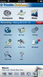
[Satellite TODAY 08-02-13] Trimble announced it has entered into an agreement with DigitalGlobe, a global provider of high-resolution earth imagery solutions, to license its satellite imagery for offline use in Trimble outdoors mobile apps. The deal allows outdoor enthusiasts to view and store imagery on their smartphones and tablets.
DigitalGlobe will provide imagery down to a 30-centimeter resolution for the continental U.S. and 50-centimeter resolution globally, effective immediately. The 30-centimeter resolution means one pixel on the image equals 30 centimeters on the ground.
Customers can order the new premium satellite image prints in five sizes ranging from 18″ x 24″ to 60″ x 96″ with the possibility to design custom maps. In addition, users can select the map scale down to 1:1K, plus overlay GPS coordinates, navigation grids and exclusive map layers like public land boundaries, hunt units, forest roads, and lake contours.
Get the latest Via Satellite news!
Subscribe Now